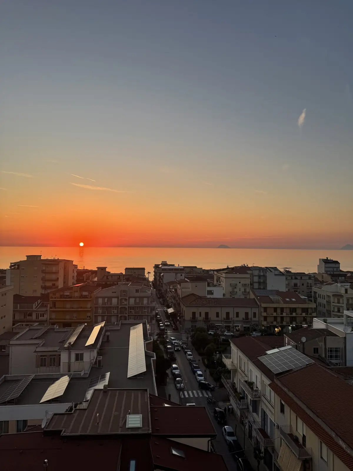
Salina — Monte Fossa delle Felci
The roof of the Aeolians: 962 metres, with a forest of ferns, chestnuts and pines accompanying you to the top. It's the only Aeolian climb you can do in summer without cooking, and in its full version it crosses the island from one sea to the other.
- Difficulty
- Strenuous
- Duration
- 4 h walking on the traverse
- Elevation gain
- 1,021 m measured sea to sea
- Altitude
- 962 m, the Aeolian summit
- Season
- All year
The traverse, from one sea to the other
The there-and-back is the version everyone describes. The one that earns the journey is the traverse: you start from the harbour at Santa Marina Salina, climb the eastern flank to the 962-metre summit, and come down the far side to Rinella, on the south coast. These are the GPS-measured figures from a late-May traverse that set off at 10:03: 14.24 kilometres, 1,021 metres of ascent, four hours and six minutes of actual walking, twenty-one thousand seven hundred steps. This is not a stroll: it is the longest climb in the archipelago, and it crosses a whole island on foot.
The catch of a traverse: you finish somewhere else
This is the thing nobody mentions, and it ruins the day for anyone who hasn't thought it through. Rinella is not Santa Marina: it's on the opposite coast, and at the end of the day you have to get back. The island has a bus service linking Santa Marina, Malfa, Leni, Rinella and Pollara, but departures are not frequent and change with the season: check the timetable that same morning, before you set off, and photograph it. Failing that there are the island taxis, which need booking. Anyone who'd rather not risk it does the there-and-back and skips the descent to Rinella: it's still an excellent day.
The short version, from the Sanctuary
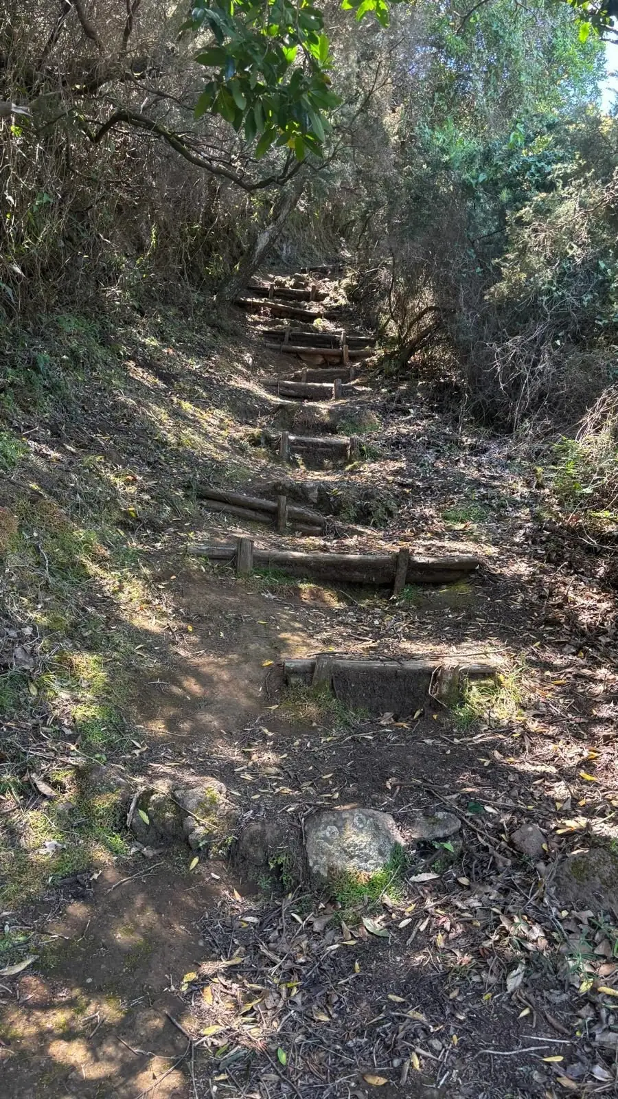
If four hours of traverse is too much, the classic start is the Sanctuary of the Madonna del Terzito at Valdichiesa, in the saddle between the two mountains. From there you're already at height and the trail climbs at a steady gradient through the reserve to the top: a medium-grade climb, done in a morning, leaving the afternoon for the sea. The view from the summit is the same — only the sweat differs.
The forest that looks ancient and isn't
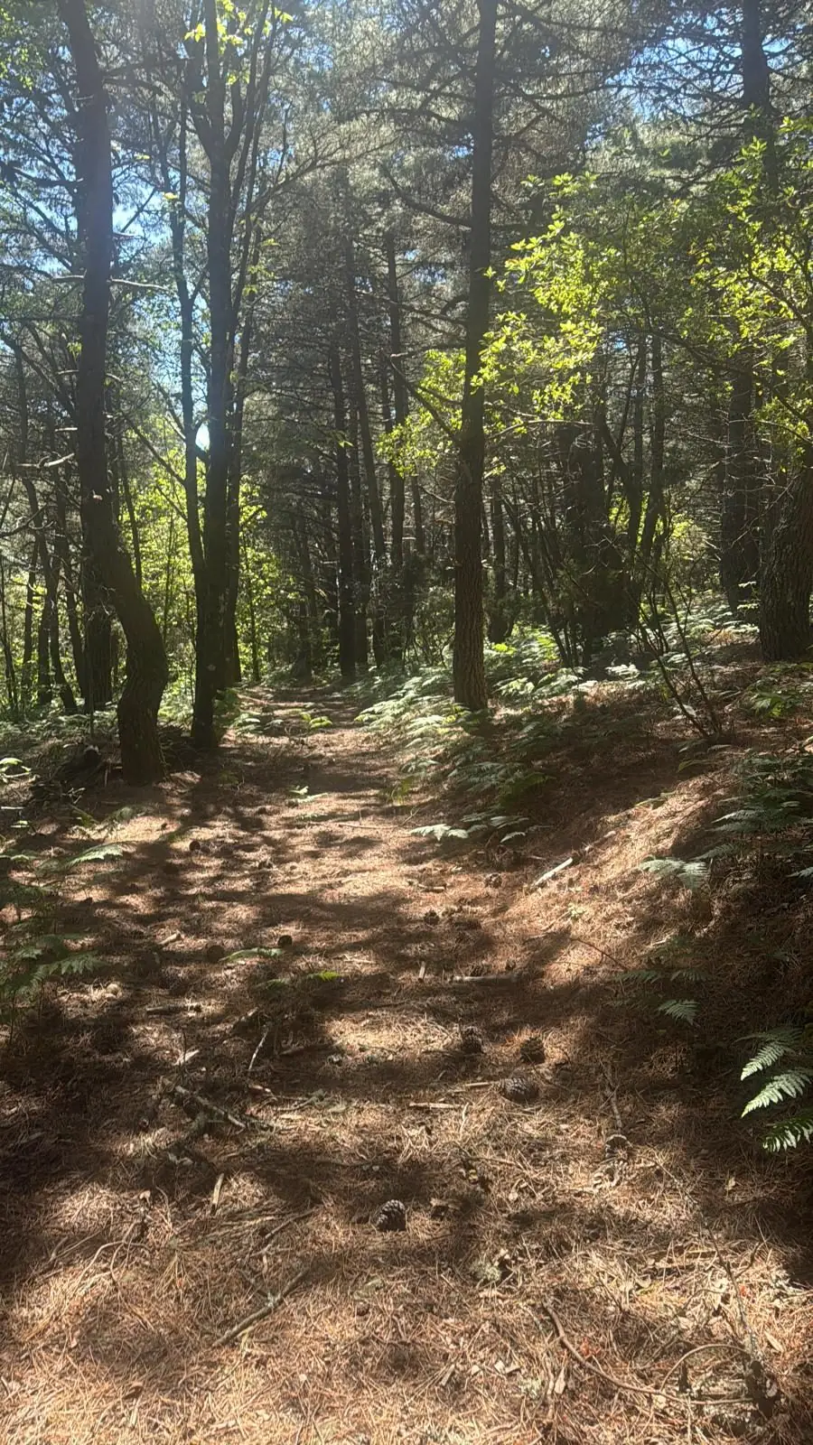
This is the part that catches you out. You walk through a dense wood of maritime pines, chestnuts and Neapolitan alders that looks as though it has always been there, and on the greenest of the Aeolians that seems only natural. It isn't: that wood was planted in the 1950s. It's a reforestation, and it changes how you read it — this isn't maquis that survived, it's a mountainside somebody decided to rebuild. Which, on an archipelago of black rock and prickly pear, is still the reason this is the one Aeolian climb you can do in summer walking almost entirely in shade.
Why it's called the Hollow of the Ferns
The name isn't poetic, it's descriptive. In late spring the mountain's crater fills with a carpet of bracken — Pteridium aquilinum — and that is where the name comes from. Come in May or June and you catch it at the right moment: the ferns are tall, intensely green, and fill the understorey as far as the light reaches. The photographs on this page were taken in late May, and that is exactly what you see.
What you see from up there
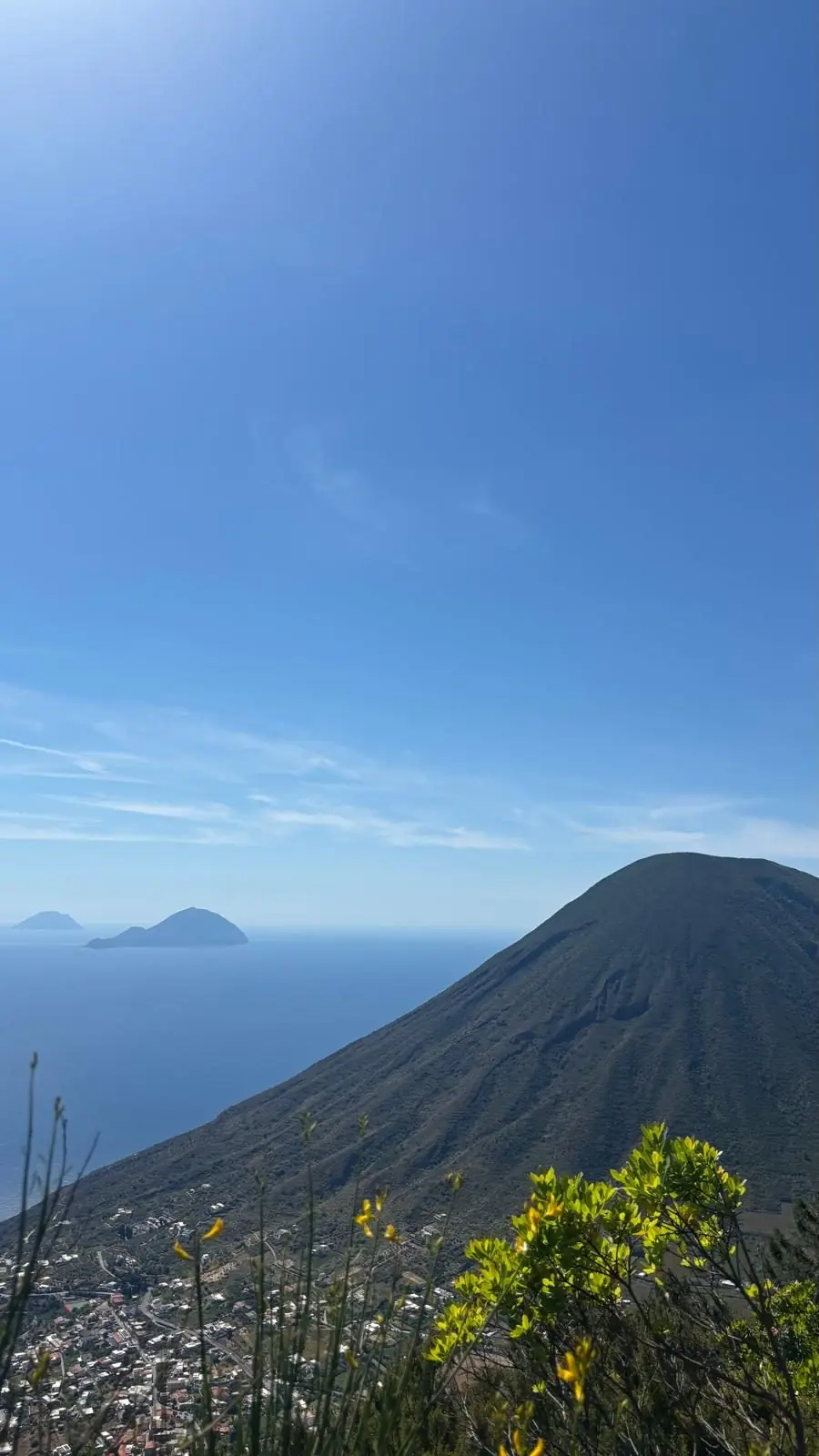
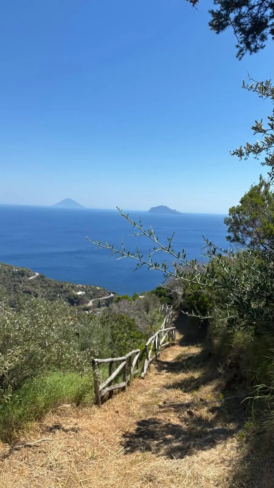
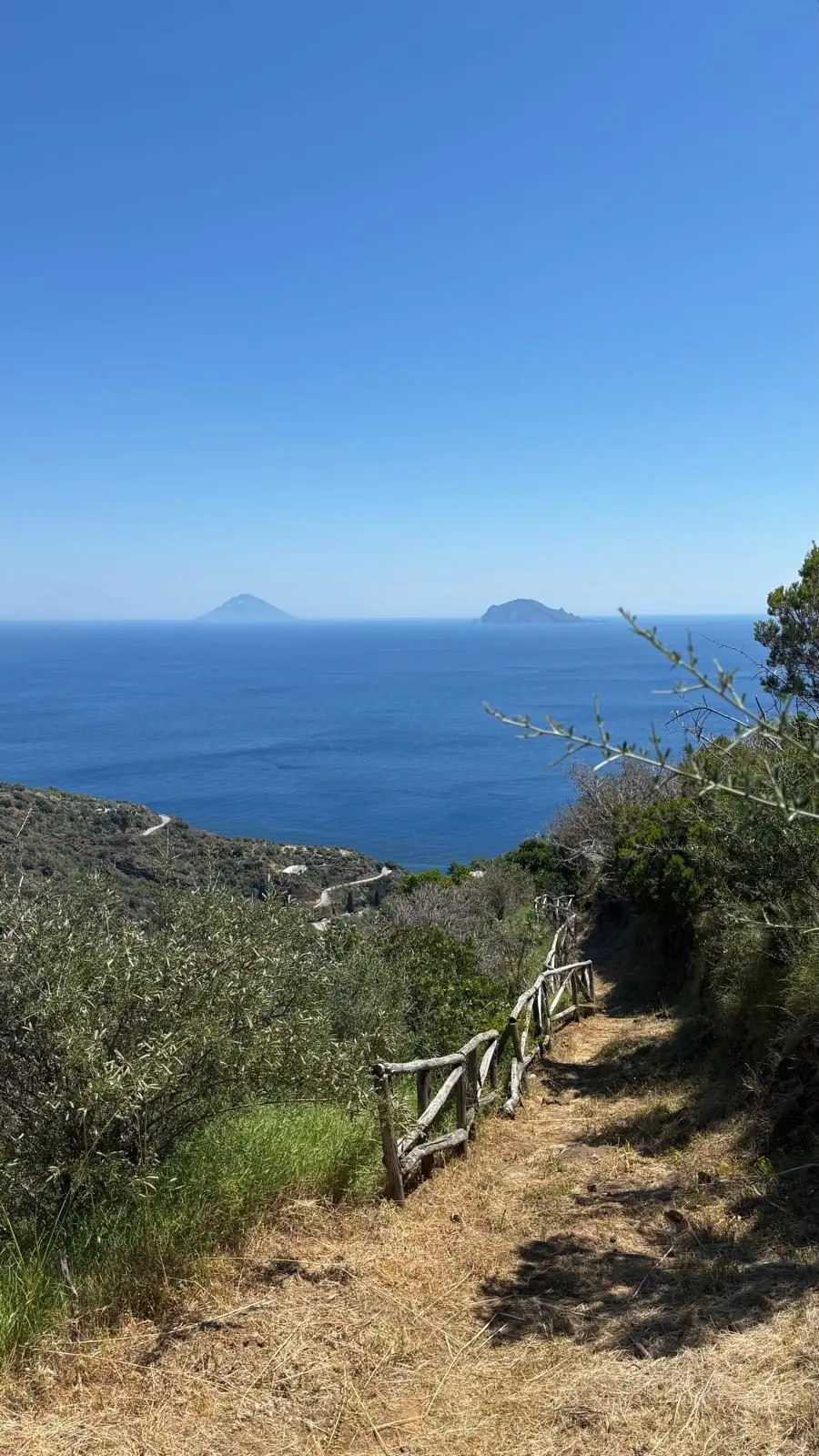
At the top, if the air is clear, the full arc of the archipelago: Lipari and Vulcano to the south, Panarea and Stromboli to the east — Stromboli's cone is recognisable from a very long way off — Filicudi and Alicudi to the west, and beyond, above Sicily, Etna. In the foreground, across the saddle, stands the twin cone of Monte dei Porri, 860 metres, close enough to touch. The best viewpoint isn't the exact summit but the clearing just below it on the south side: from the top itself the trees close off part of the view.
This is a reserve, and it shows
The mountain is protected by the «Le Montagne delle Felci e dei Porri» Riserva Naturale Orientata, a state-managed nature reserve, established on 14 March 1984, 1,079 hectares. That is why the forest is in the state it's in. Birds of prey nest here: buzzard, kestrel, lesser kestrel, peregrine and Eleonora's falcon. The rules are the usual ones and they matter: no fires, no foraging, dogs on a lead, and rubbish goes back down with you. In autumn the undergrowth is damp and chestnut leaves make the steep sections slippery on the way down: those are the places people get hurt, not on the climb.
The little lake that gave the island its name
Two names, two stories, and both lie under the walker's feet. The island's Greek name was Didyme, «twin», for the two volcanoes that form it — and you see both from this summit. Today's name, Salina, comes instead from the lagoon at Lingua on the south-eastern tip, from which salt was extracted: the same stretch of water where migrating waterbirds now stop over. The island →
Where it ends: the harbour that played Vulcano
Anyone completing the traverse comes down to Rinella, and without knowing it arrives on a film set. In 1949, while Rossellini was filming «Stromboli» with Ingrid Bergman, Anna Magnani was filming the rival picture, «Vulcano». Despite the title, that film was not shot on the island of Vulcano: the documented locations are on Salina and Lipari, and the little harbour of Rinella plays the port of Vulcano, with the church of San Gaetano as its parish church. You arrive exhausted, sit down at the harbour, and find yourself inside the war of the volcanoes. The whole story →
Frequently asked questions
How high is Monte Fossa delle Felci?
962 metres: it is the highest point in the entire Aeolian archipelago. Salina's other summit, Monte dei Porri, reaches 860 metres and is the third highest in the islands.
How long is the Salina traverse over the Fossa delle Felci?
The full traverse from Santa Marina Salina to the summit and down to Rinella measures 14.24 kilometres with 1,021 metres of ascent, and takes about four hours of actual walking, GPS-measured. With stops it is a full day. The short version, from the Sanctuary of the Madonna del Terzito at Valdichiesa, is medium grade and can be done in a morning.
How do you get back after the traverse to Rinella?
Rinella is on the opposite coast from Santa Marina, so you need transport back. The island has a bus service linking Santa Marina, Malfa, Leni, Rinella and Pollara, with infrequent departures that change seasonally: check the timetable that same morning. Failing that, there are island taxis, which need booking.
Why is the mountain called the Hollow of the Ferns?
Because in late spring the mountain's crater fills with a carpet of bracken, Pteridium aquilinum, which gave it its name. Come in May or June and you find it at its fullest.
Is the forest on Salina natural?
Largely not: the wood of maritime pines, chestnuts and Neapolitan alders on the upper mountain was planted in the 1950s. It is still the reason this is the one Aeolian climb you can tackle in summer walking almost entirely in shade.
What can you see from the summit of Salina?
In clear air, the whole archipelago: Lipari and Vulcano to the south, Panarea and Stromboli to the east, Filicudi and Alicudi to the west, the twin cone of Monte dei Porri in the foreground and Etna beyond, above Sicily. The best spot is not the exact summit but the clearing just below it on the south side, because from the top the trees close off part of the view.
Leaving early
Breakfast before the hydrofoil.
Salina in a day only works on the first crossing from Milazzo. Guests leave having eaten.
Direct booking, no intermediaries · See the rooftop →